-40%
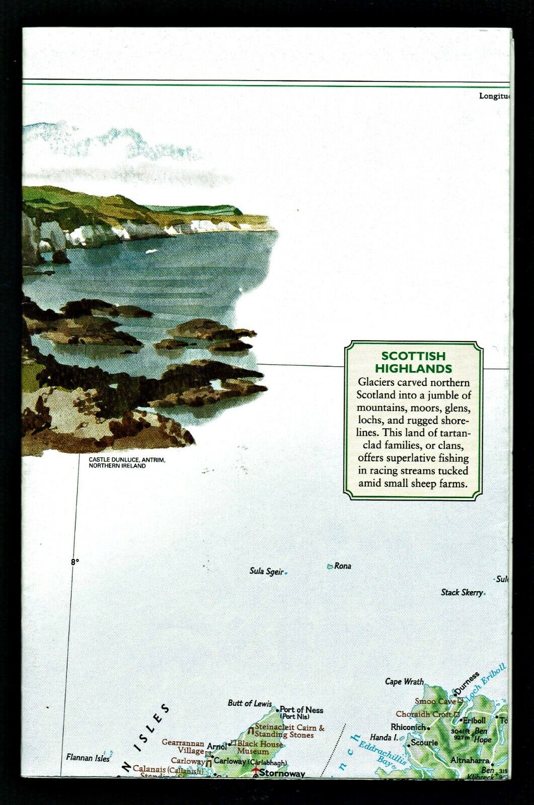
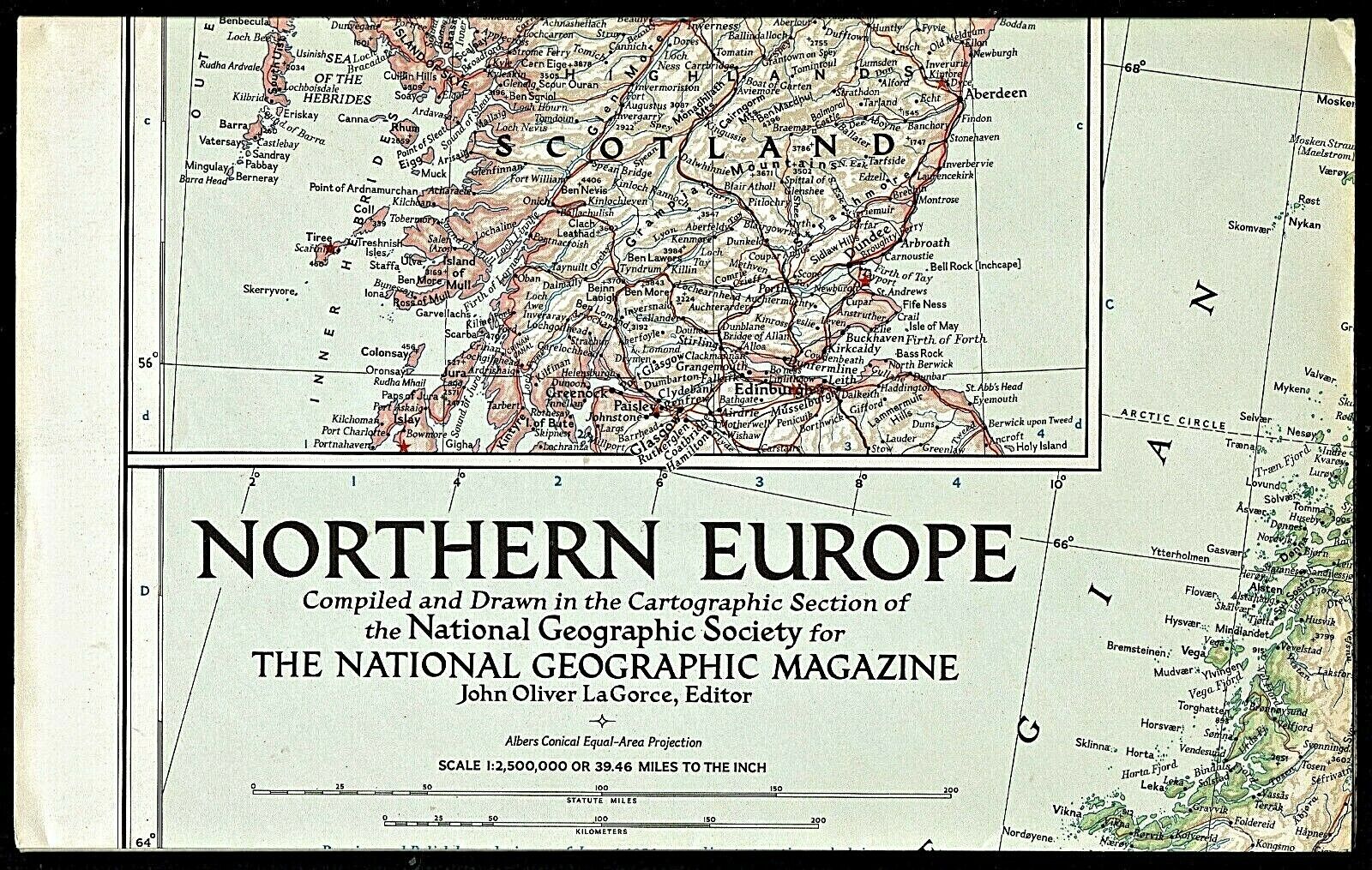
2000-6 June BRITAIN & IRELAND Traveler's & London Map National Geographic - B(C)
$ 1.97
- Description
- Size Guide
Description
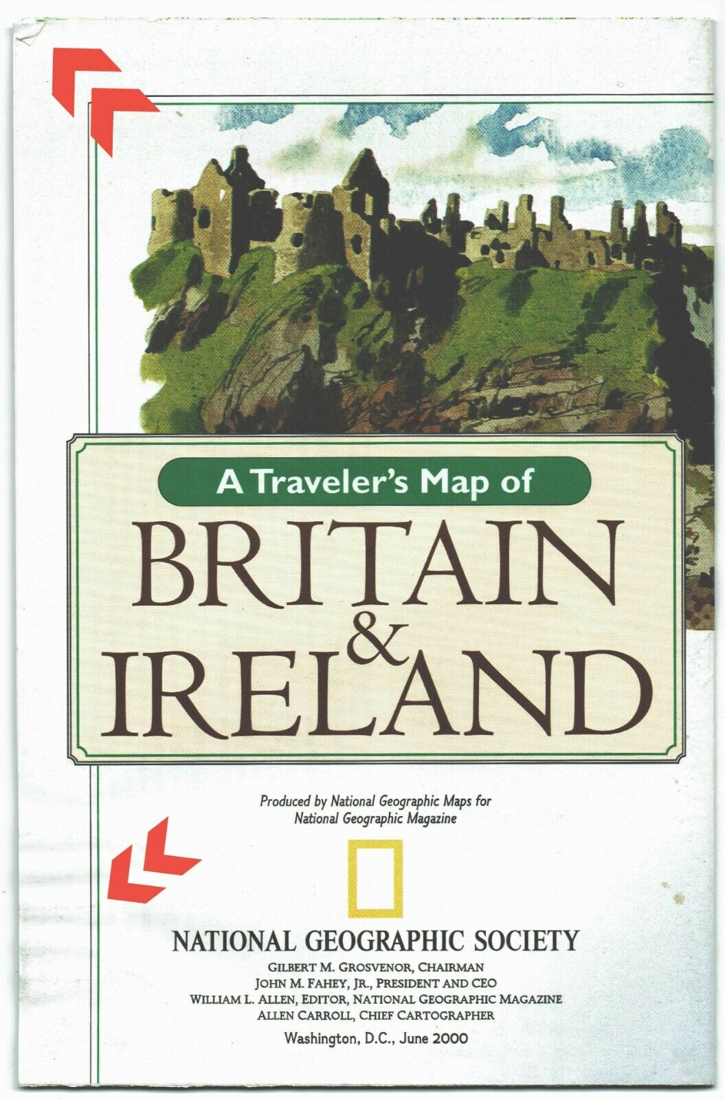
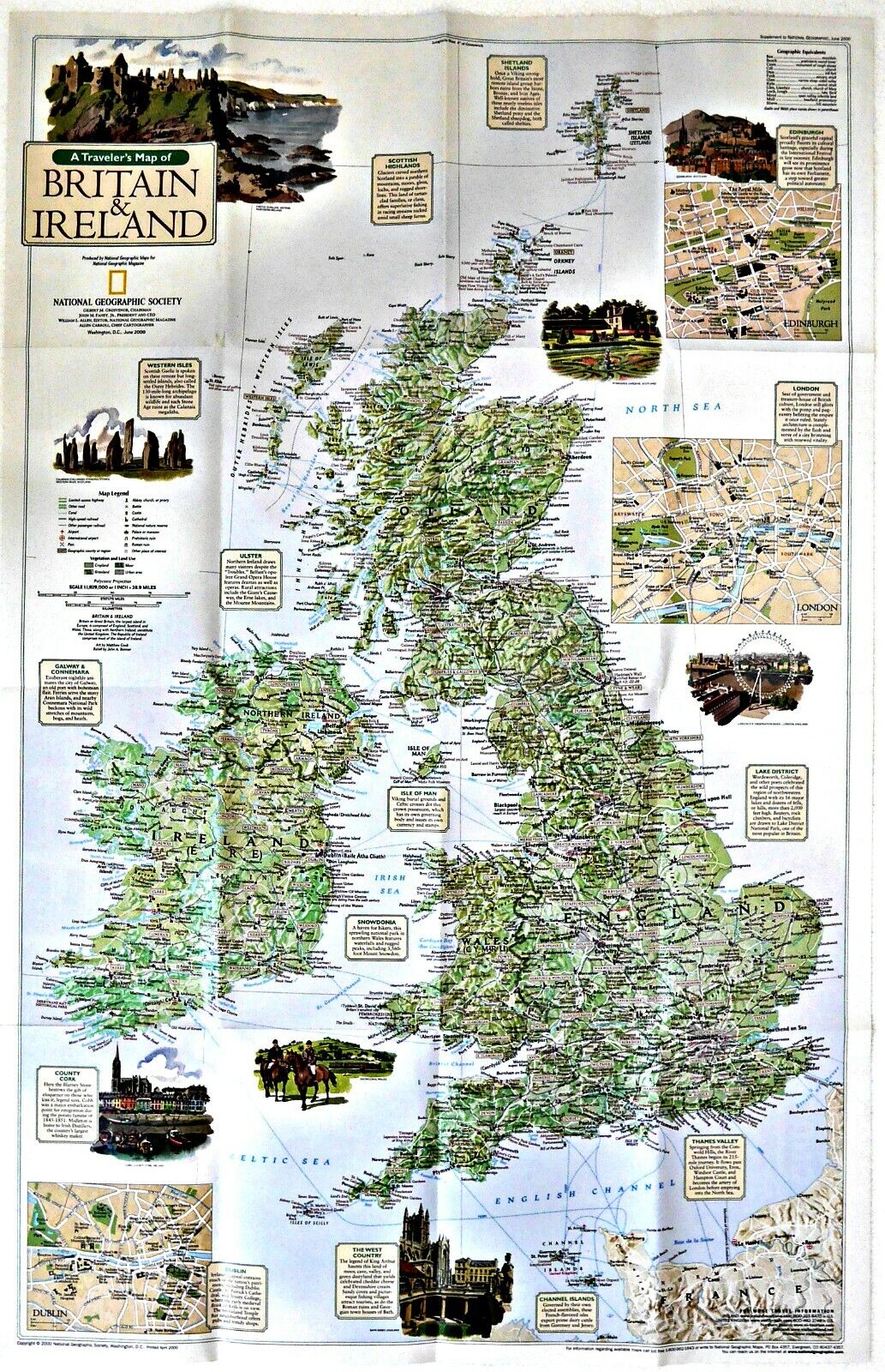
2000-6 June BRITAIN & IRELAND Traveler's & London Map National Geographic SchoolAn excellent map for the traveler or student of Britain and Ireland. On the map-side is a classic National Geographic cartographic political map of the subject area with thousands of place name
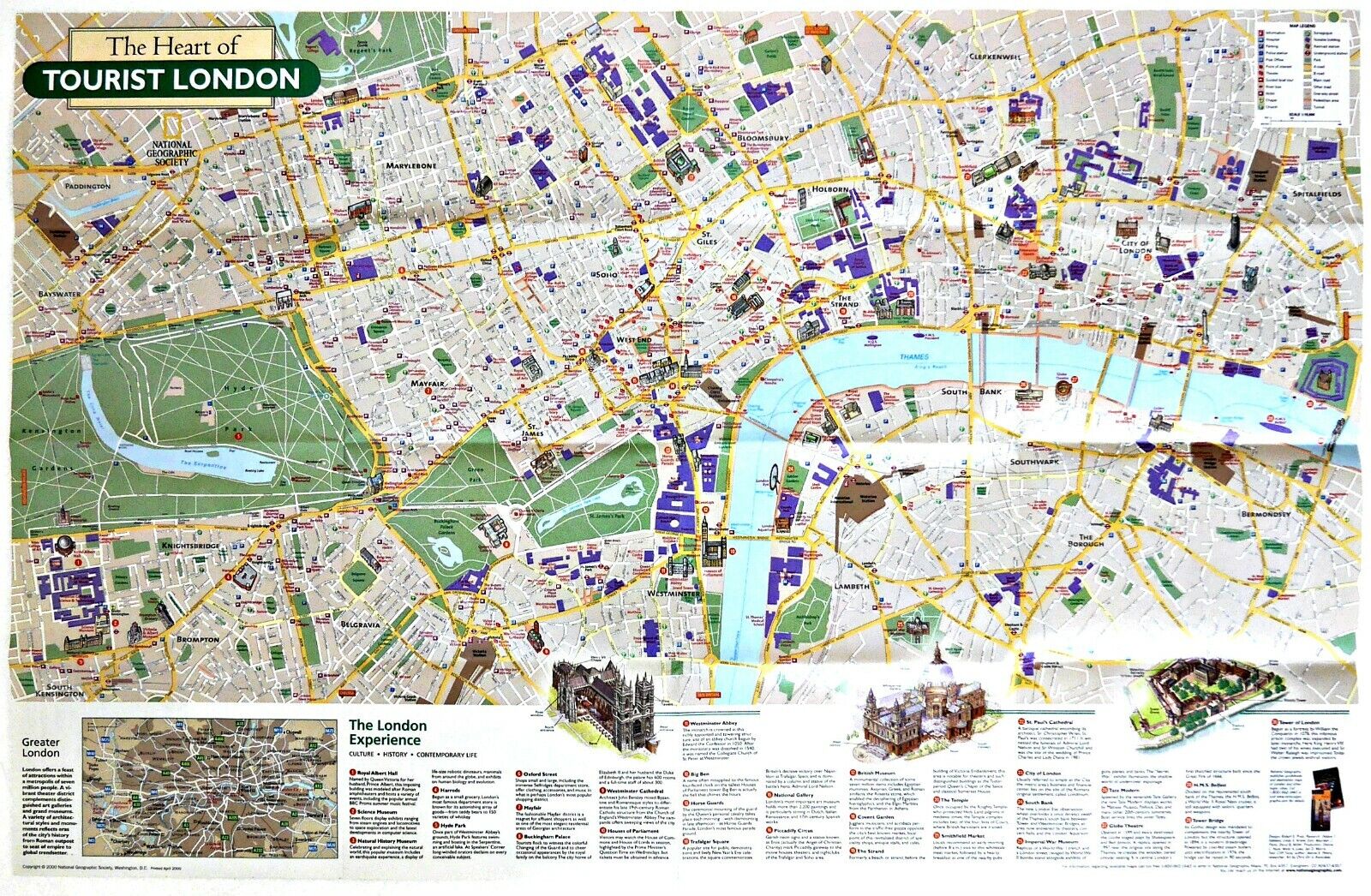
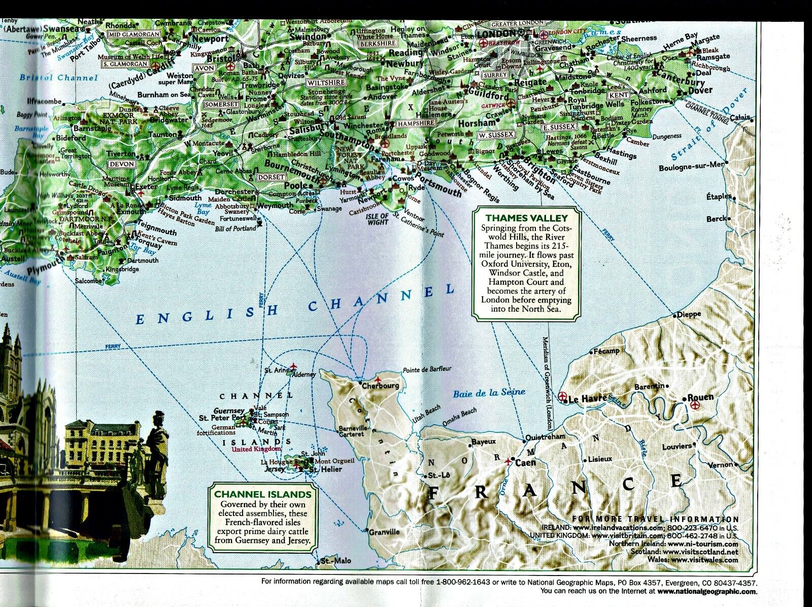
s, major highways/roads, ferry routes, bodies of water, national parks, etc. Color-coded relief reveals the varying topography of the land. There are map insets of the Shetland Islands, Edinburgh, Dublin, and the Channel Islands. On the reverse-side is a very detailed map of the heart of tourist London, with a list, location, and description of 30 primary tourist destinations.
Map is approximately 20” x 31”.
The National Geographic is known for it's fine maps & detailed information.
Supplement to the National Geographic Magazine; magazine is not included.
Free shipping to U.S.
International shipping is by weight - contact us for discou
nted shipping r
ates before you purchase.
